Map and Directions, camping Les Cascades
Contact details
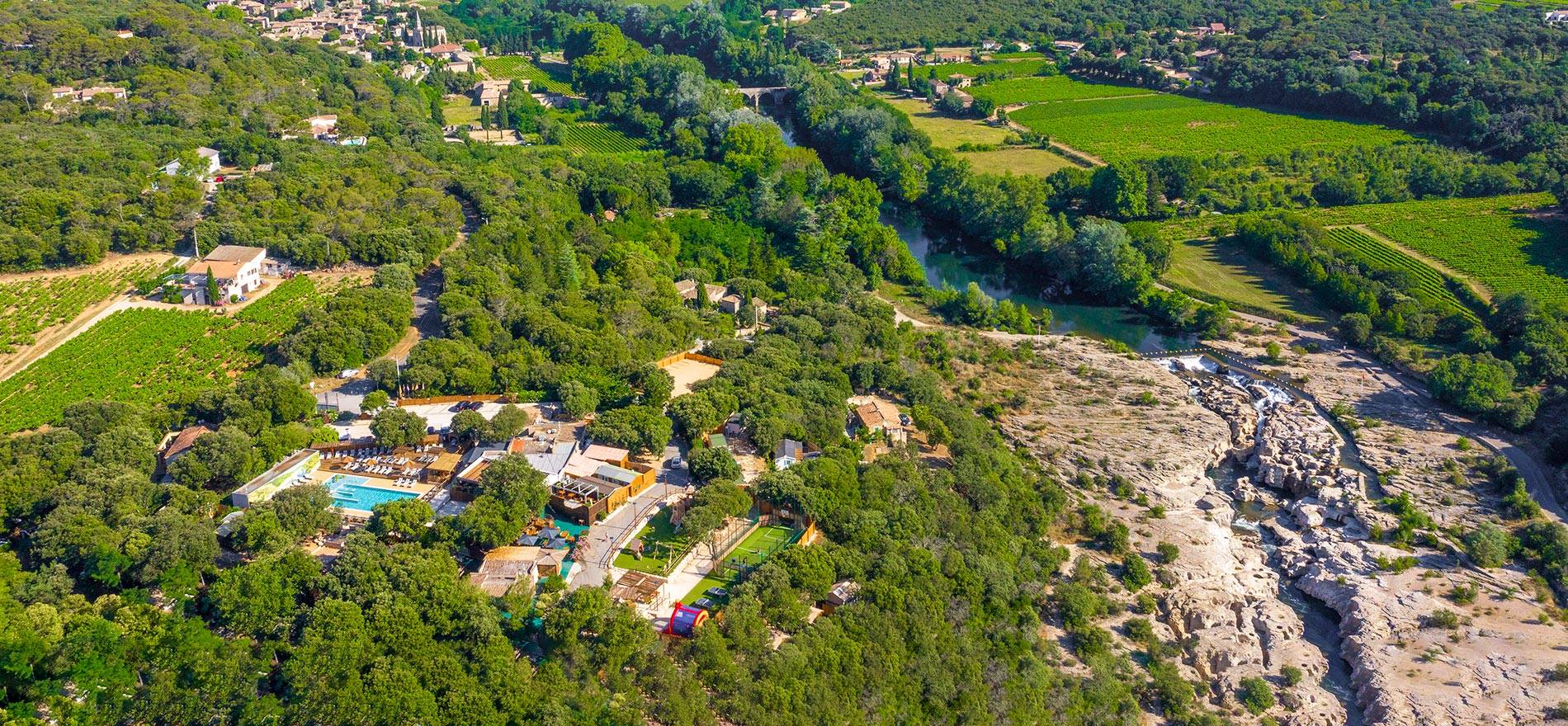
693, route de Donnât
30200 La Roque-sur-Cèze
FRANCE
Location
La Roque sur Cèze, 1 km
Bagnols sur Cèze, 12 km
Nimes , 81 km
Recommended itinerary if arriving by car only:
- Exit the A7 motorway at Bollène. After the toll, take the roundabout exit toward Alès/Bagnols-sur-Cèze.
- Drive to the entrance of Bagnols-sur-Cèze (approx. 20 km). At the large roundabout (McDonald's), turn right toward the "Vallée de la Cèze."
- Continue to La Roque-sur-Cèze (approx. 10 km), cross the village's small bridge (note: accessible only for vehicles less than 2.10m wide), continue for another 500 m and you’re there!
Please note, the route is different if you’re traveling by motorhome or with a caravan:
- Exit the A7 motorway at Bollène. After the toll, take the roundabout exit toward Alès/Bagnols-sur-Cèze.
- Drive to Bagnols-sur-Cèze (approx. 20 km). At the large roundabout after the bridge, follow signs for Alès.
- Drive about 4 km, then turn right toward La Roque-sur-Cèze, Donnat. Continue for another 6 km and you’re there!
By train, the nearest station is Avignon TGV (45 km). Buses run between Avignon and Bagnols-sur-Cèze (12 km from La Roque-sur-Cèze). Some bus connections between Bagnols-sur-Cèze and La Roque-sur-Cèze are available. More information on the website. By air, Marseille airport is 1h30 by car (car rental highly recommended) or Montpellier is 1h25 by car.